
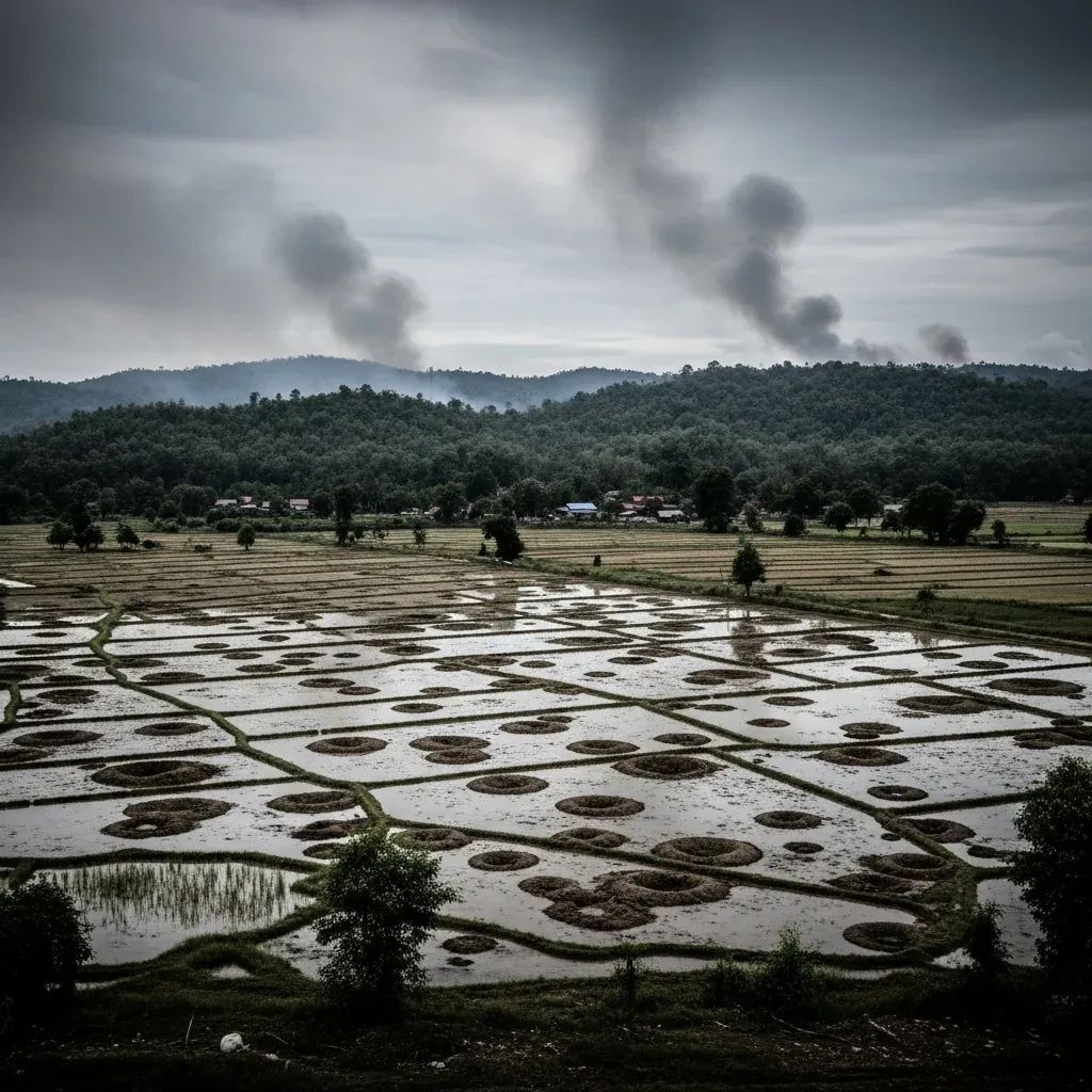
Thailand's capital is descending faster than the waters are rising, and the collision of these two forces is reshaping how engineers approach one of Southeast Asia's most urgent infrastructure challenges. Bangkok is dropping by an average of 8.5 mm annually, placing it among the world's fastest-sinking metropolises, while coastal residents experience a relative sea-level rise of 6 mm per year—nearly triple the global average. For those living and working in the city, the question is no longer whether flooding will worsen, but how quickly adaptation can outpace geology.
Why This Matters:
• Timing pressure: If current trends hold, Bangkok could sit below sea level by 2030, fundamentally altering drainage dynamics and rendering natural water flow nearly impossible.
• District-level risk: High-risk zones for 2026 include Khlong Toei, Bang Khen, Don Mueang, Min Buri, and lower sections of Sukhumvit (Soi 50, Soi 77), where subsidence, low elevation, and inadequate drainage converge.
• Infrastructure strain: A July 2026 incident in Thonburi and Khlong San saw ground collapse and building cracks from a leaking Purple Line MRT tunnel, underscoring how underground construction interacts with unstable clay substrata.
The Physics of a Sinking City
Bangkok sits atop a 15-meter layer of soft clay deposited over millennia by the Chao Phraya River delta. The city's average elevation hovers at just 1.5 meters above sea level, with some neighborhoods already dipping below that threshold. Historical groundwater extraction reached crisis levels in 1981, when parts of the city were subsiding by 120 mm per year. Although stricter pumping regulations have slowed the rate, the combination of aquifer depletion, compacting clay, and the sheer mass of high-rise development continues to press the city downward.
Eastern Bangkok and adjacent Samut Prakan province are sinking by approximately 1 cm annually, a critical problem given these areas serve as the natural drainage corridor to the Gulf of Thailand. When land drops faster than engineers can raise flood defenses, the margin for error shrinks. The Dusit District experienced this firsthand in September 2025, when a 30-meter-wide, 50-meter-deep sinkhole opened on Samsen Road near Vajira Hospital, triggered by soil erosion around an incomplete subway tunnel section and exacerbated by heavy rains.
What Climate Models Say About the Next Decade
Scientific projections for the Bangkok Delta paint a stark picture. Global sea-level rise alone is expected to add 1 to 2 meters by 2100, but local factors—primarily subsidence—amplify the relative rise to as much as 17 mm per year in some districts. When seasonal coastal flood levels are factored in, which can spike 2.8 meters above mean higher-high water during monsoon surges, the upper-bound forecasts reach 1 to 6.5 meters in extreme scenarios.
For August 2026, the immediate threat is less about catastrophic river overflow—major dams are running below normal levels—and more about localized waterlogging from intense rainfall and tidal surges along the Chao Phraya. However, climate forecasts indicate a potential La Niña-influenced monsoon season, which historically delivers heavier and more prolonged rainfall to central Thailand. This pattern increases the likelihood of extended urban flooding in low-lying districts, where drainage systems are already operating near capacity.
Saltwater intrusion is another growing concern. As the sea rises and land sinks, saline water pushes farther up the Chao Phraya River, contaminating freshwater sources during the dry season and threatening topwater production facilities that serve millions. Coastal erosion compounds the issue: villages like Khun Samut Chin, southwest of Bangkok, lose 3 to 5 meters of shoreline annually, a rate accelerated by upstream dam construction that has reduced sediment flows and the historical clearing of mangrove forests for shrimp aquaculture.
Engineering the Counteroffensive
The Bangkok Metropolitan Administration (BMA) has mobilized a multi-pronged infrastructure response, with significant progress visible by mid-2026. More than 80% of drainage infrastructure upgrades were complete by May, including the dredging of 263.31 km of canals to improve water flow and prevent urban pooling. By July, crews had cleared over 3,739 km of drainage pipes and finished 82% of canal dredging citywide.
Four giant drainage tunnels are already operational, channeling stormwater away from flood-prone zones. A fifth tunnel at Nong Bon swamp is undergoing final system testing and is designed to relieve pressure on the Udom Suk and Khlong Bang Na areas. The new Udom drainage tunnel will divert runoff from Nongbong Lake directly into the Chao Phraya River, reducing flood risk in the Bangna and Sukhumvit districts, where commercial activity and residential density are high.
The city has also introduced "Water Bank" underground storage tanks beneath sports fields and public parks in low-lying neighborhoods, creating temporary reservoirs that absorb excess rainfall before it overwhelms street-level drains. Meanwhile, 207 pumping stations, 244 floodgates, and 371 pump sumps stand ready, with water pumps installed at all 560 designated points across the capital. Twelve rapid-response mobile pump units provide emergency capacity during sudden downpours.
Flood embankments along the Chao Phraya River are being reinforced and raised to heights between 2.8 and 3.5 meters, a critical upgrade given that the current sea level already sits higher than the river and major canals, which inverts the natural drainage gradient. The Royal Irrigation Department (RID) has proposed a 95 billion baht project (2026–2031) to improve the lower eastern irrigation system, redirecting water away from the capital before it can compound urban flooding. The Bang Ban-Bang Sai drainage scheme, over 66% complete and projected to finish in 2030, will double drainage capacity from 1,200 to 2,400 cubic meters per second.
Upgrades to the Chai Nat-Pa Sak canal aim to increase capacity from 120 to 930 cubic meters per second, diverting floodwater upstream before it reaches Bangkok. These large-scale projects represent a shift from reactive pumping to proactive diversion, though experts caution that without parallel efforts to curb groundwater extraction and restore sediment flows, even the most sophisticated infrastructure will struggle to keep pace with subsidence.
Impact on Residents and Investors
For expats, long-term residents, and property investors, the subsidence crisis translates into tangible risks and planning considerations. Districts identified as high-risk for 2026—including Pathum Wan, Saphan Sung, Lak Si (near the old airport), and Nong Chok on the eastern fringe—are likely to experience more frequent and prolonged street flooding during heavy rains. Properties in these zones may see insurance premiums rise and resale values stagnate as buyers factor in flood risk.
The July 2026 ground collapse in Thonburi highlights the intersection of aging infrastructure, rapid transit expansion, and unstable geology. Homeowners and commercial landlords near active or planned MRT and metro construction sites should monitor structural integrity, particularly in older buildings on shallow foundations. The incident resulted in disaster-area declarations for parts of Thonburi and Khlong San, with compensation and repair costs still being negotiated.
For businesses, the threat of saltwater contamination in municipal water supplies during dry months introduces operational uncertainty, particularly for industries reliant on freshwater. Agricultural zones in the delta periphery face even sharper impacts, as saline intrusion renders soil unfit for traditional rice cultivation, forcing costly transitions to brackish-water aquaculture or abandonment of land.
The Road Ahead: 2030–2034
Experts project that without accelerated investment in long-term water management and climate-resilience systems, Bangkok faces another major flood event between 2030 and 2034, with 2031 flagged for particular attention. By that year, if subsidence continues unchecked, large portions of the city could sit permanently below sea level, making passive drainage impossible and forcing reliance on continuous mechanical pumping—a scenario that introduces energy costs, maintenance burdens, and systemic vulnerability to power outages.
The Office of the National Water Resources (ONWR) is developing an integrated water-management plan with nine main strategies and large-scale drainage canal projects. Nature-based solutions are also under consideration, including a "two-layer flood barrier" concept paired with mangrove restoration along the coast and river-channel widening to increase natural flow capacity. Mangrove forests, which historically buffered storm surges and trapped sediment, have been reduced by decades of shrimp farming; their restoration could provide a low-maintenance, self-sustaining layer of protection.
Automated monitoring technology is now deployed at over 300 locations, with weather radar capable of forecasting rainfall three hours in advance. The Bangkok Flood Prevention Centre operates around the clock, providing real-time situation analysis and decision support for water management. These systems give the city a critical edge in pre-positioning resources and issuing advance warnings, though they cannot compensate for the underlying geological reality.
Ultimately, Bangkok's fight against flooding is a race against time and geology. The engineering response has been substantial and, in many cases, innovative. Infrastructure upgrades completed by mid-2026 demonstrate the government's willingness to invest in large-scale solutions. Yet subsidence is not a problem that can be solved with pumps and tunnels alone. Sustainable groundwater management, upstream sediment restoration, and long-term land-use planning will determine whether the city can adapt to a future where the ground beneath it continues to fall, and the sea above it continues to rise.


