Don’t be surprised if your morning coffee steams a little longer today—the newest cold pulse sweeping down from China is giving most of Thailand a noticeable nip in the air while kicking up the Gulf of Thailand. Schools are pulling sweaters out of storage, fishermen are tying extra knots, and Bangkokians are trading iced lattes for hot ones.
Quick Radar: What Thais Need to Know Now
• Temperatures slip another 1-2 °C nationwide; high peaks flirt with single digits.
• Gulf waves climb 3 m in storms; small craft urged to stay in port.
• Dry air plus gusty winds raise fire risk in the North and Northeast.
• Chill lingers through 10 Jan, then eases but fog becomes the next hazard.
What’s Behind the Sudden Chill?
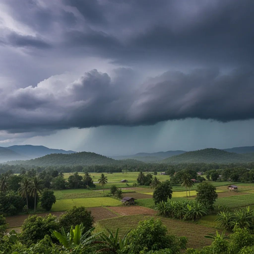
The culprit is a strong high-pressure dome parked over southern China. That cold surge from China has spilled across the Mekong, blanketing upper Thailand with cool air. A concurrent northeast monsoon accelerates the flow, bringing gusty winds that strip away humidity and set the stage for dry-season fire hazards. January regularly hosts such bursts, but forecasters note that this wave is one of the sharpest pushes in early 2026, mirroring events that drove record lows last year. While the system should weaken after 10 Jan, another pulse later this month cannot be ruled out.
How Low Will the Thermometer Go?
Bundle up: mountain hamlets in Chiang Mai and Loei could wake to 2-6 °C, with a frost-on-the-grass chance on Doi Inthanon and Phu Kradueng. Down on the plains, the North expects 11-16 °C mornings, the Northeast a brisk 8-15 °C, while Central towns from Nakhon Sawan to Ayutthaya hover at 14-18 °C. Even the capital is forecast for a 17-20 °C dawn, a rarity that will have jogging groups layering up. Daytime rebounds to the high-20s, yet the wind chill makes it feel cooler than the numbers suggest. Health officials urge seniors and children to wear multiple thin layers, keep hydrated, and watch for respiratory flare-ups as the air dries.
High Seas Alert: Gulf & Andaman
Mariners face a different challenge. The northeast monsoon over the Gulf is churning up waves 2-3 m, topping 3 m inside storm cells. The Andaman side sees 1-2 m swells, higher offshore. The Marine Department has activated a yellow flag: small boats under 12 m on the Gulf coast—especially from Chumphon down to Narathiwat—should remain ashore until conditions calm. Larger vessels must reduce speed, secure cargo, and steer clear of thundershower corridors visible on radar. Port officers are conducting spot checks on life-jackets, hull integrity, and limiting passenger loads. A 24-hour hotline (1199) stands ready for distress calls. Coastal residents from Prachuap Khiri Khan to Surat Thani should expect in-shore surges that can undercut sandbanks and piers.
Staying Healthy – and Safe – on Land
Public-health experts warn that a 10 % spike in respiratory cases often follows rapid cold snaps. They recommend:• keeping bedrooms ventilated but draft-free.• using humidifiers or a bowl of water near the fan to offset dryness.• avoiding open-air burning, which can spread quickly in parched fields.
Farmers in the North are advised to shield export mango and longan blossoms from chill damage, while rubber growers in the South should monitor latex flow, which slows in temperatures below 18 °C. Meanwhile, stronger winds help disperse PM2.5, offering a brief reprieve from Bangkok’s usual haze; pollution levels Wednesday sat in the ‘moderate’ band for most monitoring stations.
The Week Ahead: Fog, Frost & A Bit of Sun
Meteorologists expect the mercury to dip lowest between 8-10 Jan, then edge upward by 2-4 °C as the high-pressure cell retreats. The flip side: lighter winds will allow morning fog—possibly dense along Highway 11 near Phitsanulok and the Khon Kaen plateau. Southern showers calm after the weekend, shrinking to isolated 30 % coverage. No tropical systems are on the map, but a new cold front over Mongolia bears watching for the third week of the month. If it holds course, another brief snap could sweep Thailand around 18-20 Jan.
By the Numbers: 2026 Versus 2025
Comparative data show this week’s lows running 1-3 °C colder than the same window last year for Chiang Mai city (15 °C today vs 16 °C in 2025) and Ubon Ratchathani (12 °C vs 14 °C). On the peaks, Doi Inthanon’s predawn reading of 2 °C matches its coldest mark from last January, yet the grass-level temperature stayed just above the –5 °C frost threshold seen in 2025’s notorious cold wave. Nationwide, energy analysts project a 6 % rise in electricity demand for heating devices such as water heaters and electric blankets. The data underline a trend: when the East Asian winter monsoon flexes, Thailand still feels it—just not as brutally as our northern neighbors.
Residents, tourists, skippers, and farmers alike would do well to keep a daily eye on the Department of Meteorology’s feeds. The season is far from over, and the next breeze from the north could arrive sooner than you can brew another cup of hot tea.