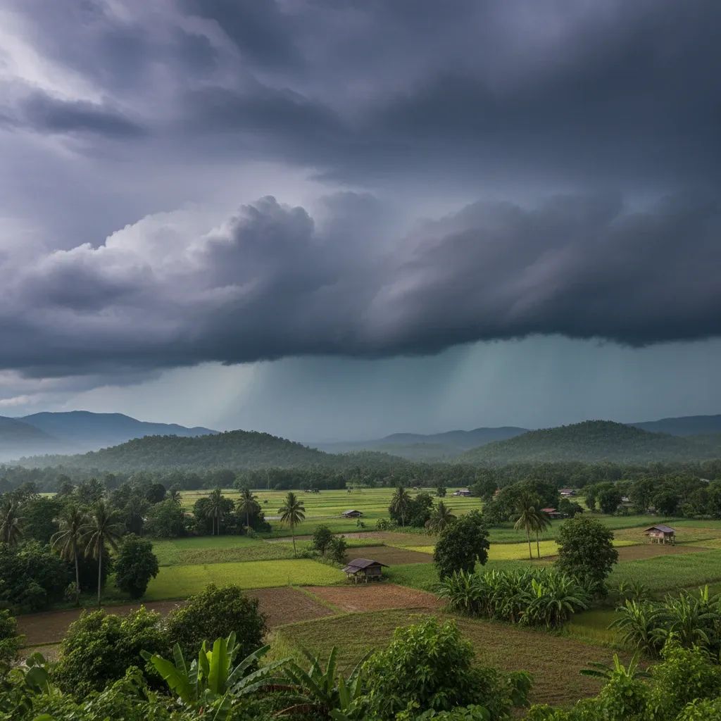
Early on Saturday, a stark contrast in Thailand’s weather patterns became evident as Tropical Storm Koto churned in the South China Sea, its center packing winds near 93 km/h yet remaining offshore. While the storm is set to weaken sharply before brushing Vietnam’s coast, its indirect influence combined with an outflow of high-pressure air has ushered in a noticeable drop in temperatures across the Kingdom.
Chill grips the North and Northeast
In Chiang Mai’s highlands and across the uplands of Lampang and Nan, dawn readings plunged into single digits, with mountain peaks recording lows around 5–10°C. Even at lower elevations, residents of provinces such as Phayao and Udon Thani felt the edge of the cold front, as the northeast monsoon funneled crisp air down from China. With morning mist lingering over paddy fields, daytime highs will struggle to climb beyond the upper 20s before another round of chilly winds returns after sunset.
Central Thailand stirs under foggy skies
From Ayutthaya to Nakhon Sawan and into Bangkok’s outskirts, motorists and street vendors navigated low-lying fog that blanketed canals and roads until mid-morning. Temperatures hovered between 17°C and 18°C at first light, a reminder that winter is approaching earlier than usual. Despite sunshine by midday pushing thermometers toward 30°C, the cooler mornings have prompted locals to layer light jackets over their work clothes.
Southern coasts and Andaman Sea see rougher waves
Along the eastern Gulf shoreline, residents from Pattani to Narathiwat witnessed patches of morning haze, but conditions brighten by noon. On the western seaboard near Trang and Satun, fishermen reported 1–2 meter swells, with occasional towering breakers where thunderstorms briefly swept in. Even though rainfall remains light—around 10% chance in lower southern districts—the persistent monsoon winds are enough to drive higher tides and stir coastal currents.
Precautions for farmers and seafarers
Agricultural authorities are reminding rice growers to maintain standing water in lowland paddies to buffer seedlings against sudden cold dips. Orchardists in the North are draping young fruit trees with protective netting to ward off frost damage. Meanwhile, local fishers have been advised to stay within sheltered bays until wave heights subside, and to check buoy reports from the Thai Marine Department before venturing into open waters.
Staying up to date
The Thai Meteorological Department issues updates every few hours on its website and through the 1182 hotline, ensuring communities can plan ahead for both the lingering cool snap and any maritime hazards stirred up by Koto. By monitoring official forecasts and heeding local advisories, residents from the mountains to the coastline can navigate this early taste of winter with minimal disruption.


