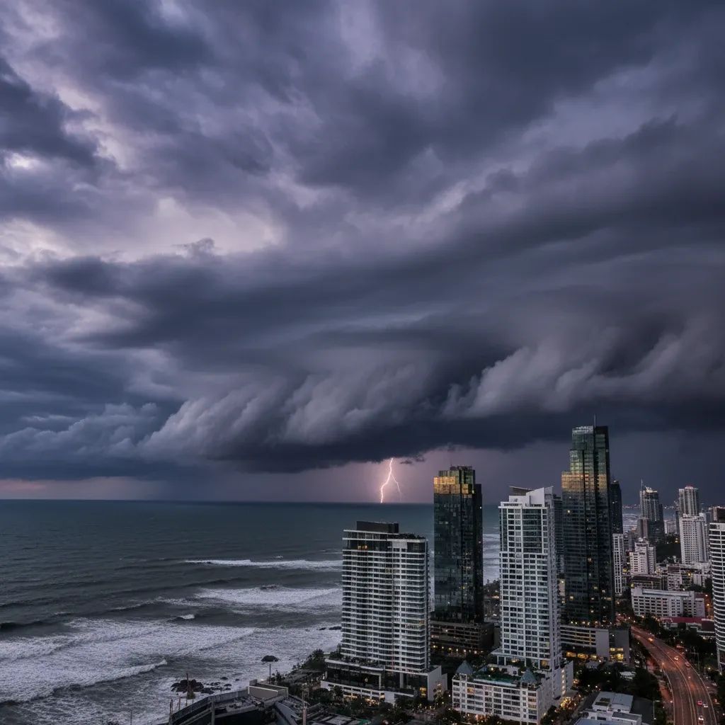
Bangkok is bracing for heavy rainfall over the next 24 hours, with the Thailand Meteorological Department forecasting thunderstorms across up to 70% of the capital and surrounding provinces. A combination of weather systems—including a low-pressure cell over northern Vietnam—is driving the weather pattern. Waves in the Andaman Sea could exceed 2 meters in affected zones, grounding small boats.
Why This Matters
• Eastern Bangkok districts (Lat Krabang, Khlong Sam Wa, Saphan Sung) face the highest flood risk; monitor the Drainage Department's real-time dashboard if you live or work there
• Sea travel halted in affected zones; the Thailand Meteorological Department warns against sailing during storm cells
• Road gridlock likely on chronic bottleneck routes; plan alternative commute paths now
• Download alert apps before rain hits—ThaiWater, DPM Reporter, and Google Flood Hub offer real-time basin-by-basin tracking
Why Bangkok Floods
Bangkok sits in a vast alluvial floodplain barely elevated above sea level at the mouth of the Chao Phraya River basin. Land subsidence caused by decades of groundwater extraction means the city's elevation relative to incoming tides becomes more precarious. When the Chao Phraya swells and high-tide peaks coincide with heavy rain, the city's drainage capacity is strained. Bangkok's drainage network maxes out at roughly 60 millimeters of rain per hour; when downpours exceed that threshold, water overwhelms streets and homes.
The Thailand Office of National Water Resources has identified an eastern arc of districts—Lat Krabang, Saphan Sung, Nong Chok, Khlong Sam Wa, Bang Na, and Suan Luang—as natural catchment zones where rainwater pools faster than infrastructure can shed it. Key arteries including Sri Nakarin Road, Rama IX Road, and Ratchadaphisek routinely become impassable within 30 minutes of heavy rainfall.
What This Means for Your Commute and Safety
If You Live or Work in Risk Zones
The BMA has mapped chronic flood zones with precision. Eastern Bangkok—particularly Bang Na, Suan Luang, Prawet, Phra Khanong, Saphan Sung, and Khlong Sam Wa—faces the highest water level rise during heavy downpours. If your office or home sits in these districts, expect road closures and significant commute delays over the next 24 hours. Keep the Drainage Department's online dashboard open on your phone today; it tracks water accumulation at critical junctions in real time. Move valuables to upper floors or shelves now, before rainfall intensifies. Never attempt to drive through standing water; even 15 centimeters can hydro-lock an engine.
Stock Supplies Today
Charge all mobile devices and download at least two warning apps before rain hits. Keep bottled water, non-perishable food, flashlights, a first-aid kit, and a portable battery pack accessible. The ThaiWater app and National Thai Water platform offer hyperlocal rainfall tracking and forecasts. DPM Reporter pushes disaster alerts directly to your phone. Download Traffy Fondue to flag blocked drains—complaints route directly to district teams.
Report Infrastructure Failures Immediately
If you spot a clogged drain or malfunctioning pump station, use Traffy Fondue or call the BMA's 24-hour hotline at 1784. Early warnings about blocked drainage enable municipal teams to respond before water pools dangerously.
For Boat Operators
The Thailand Meteorological Department warns that waves in thunderstorm zones exceed 2 meters. Small-craft operators should avoid the Andaman Sea and Gulf of Thailand entirely during peak storm cells.
Government Readiness
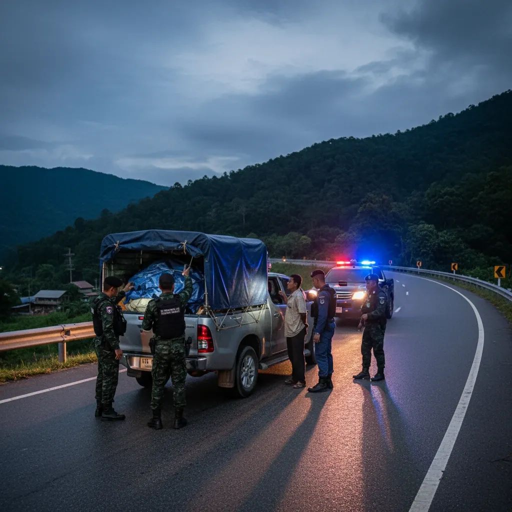
The Bangkok Metropolitan Administration has activated its flood-response protocol, deploying mobile pump units, pontoon boats, and emergency crews across all 50 district offices. Municipal maintenance teams are actively dredging major canals, clearing storm drains of debris, and lowering water levels in retention ponds before rainfall peaks. Inspection crews are verifying structural integrity of gates, levees, and pump stations along the Chao Phraya and key waterways.
Real-Time Tools at Your Fingertips
The Thailand government maintains a constellation of warning systems and monitoring platforms:
• ThaiWater and National Thai Water: Real-time rainfall and forecasts updated hourly
• DPM Reporter: Disaster alerts pushed directly to phones; weather updates by district
• Thailand Flood Monitoring System: Interactive maps showing flood projections
• Google Flood Hub: Satellite-derived flood extent overlaid on navigation maps
• Traffy Fondue: Crowdsourced drainage complaints routed to local authorities within 24 hours
• LINE ALERT: Push notifications for critical weather warnings
Download at least two. Share the emergency hotline—1784—with neighbors and coworkers.
Staying Safe During the Next 24 Hours
For residents, the practical reality is clear: stay alert during the next 24 hours. Avoid unnecessary travel during heavy rain. Monitor water levels in real time using the apps listed above. Heed traffic advisories and evacuation orders if issued. Stock supplies before rain hits. Report infrastructure failures as soon as you spot them. Bangkok's drainage systems have been upgraded since major past flood events, but proper preparation remains your best defense.